Marine Conservation, Underwater Research, and Ecology
At ROV Innovations, we are helping scientists in a wide variety of fields including university and government departments, research projects such as underwater surveys, coral reef studies, marine habitat mapping, and even exploring underwater shipwrecks with an eye on future preservation. The researchers appreciate our high definition video images, staff background in Marine Science, and ROV manoeuvrability. When this is coupled with relatively low cost, it allows projects to keep within strict research budgets.
Our underwater research assistance can be as little as providing high definition underwater footage of target species, recording transects, deploying and photographing quadrats, mapping individual underwater habitats (such as seagrass beds and reef zones), collecting water quality data and samples, all the way through to providing a complete underwater research solution with our qualified marine scientists, ecologists, and GIS experts.
The quick deployment and proven versatility of our ROVs frees researchers to concentrate more on actual research tasks rather than their piloting skills; and using our ROVs allows exploration to depths beyond normal diving capability (typically 300m, however can be as deep as 1000 metres) for prolonged periods.
Ultra-High Definition Underwater Footage
This is a few of the various underwater surveys we have completed on various reefs around the world. These surveys range in depth from between 20m to 500m and are recorded from 1080p High definition to 4K Ultra-High definition.
Underwater Mapping and 3D Photogrammetry
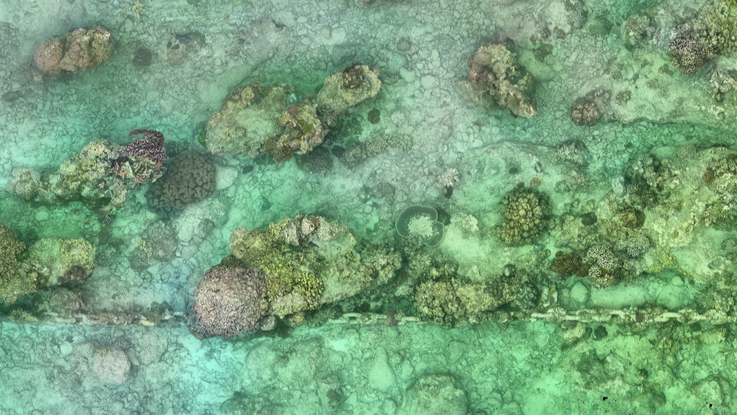
With a wide variety of specialised underwater equipment, and staff background in scientific principals, we are also on the cutting edge of scientific research by providing enhanced underwater mapping techniques. Being able to obtain photorealistic underwater 3D models of the environment allows us to provide valuable data for researchers which can be analysed back in the lab by members of the team that were not actually on site. Geo-referencing these 3D models allows us to collect data over time which assists in a wide range of research including coral reef monitoring, effects of climate change, and monitoring pollution.
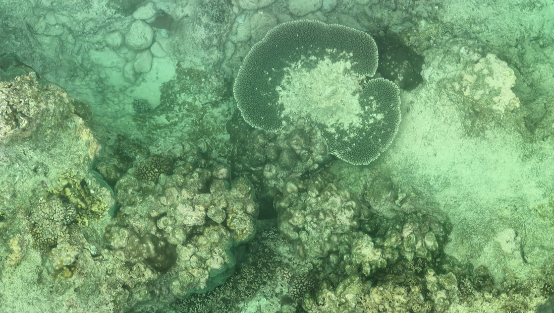
Original orthomosaic of a section of reef approx 30m long x 6m wide. Zoom in with your mouse or the buttons on the upper left of the window
This is a visual fly through of a 3D point cloud generated by underwater photogrammetry at Christmas Island. The methodology used in this survey provides a photo realistic 2D orthomosaid of the site as well as a 3D model from the individual points obtained in the post production. This combination of results allows for species identification, growth rates, composition etc as well as an understanding of the complexity of the habitat in question.


