|
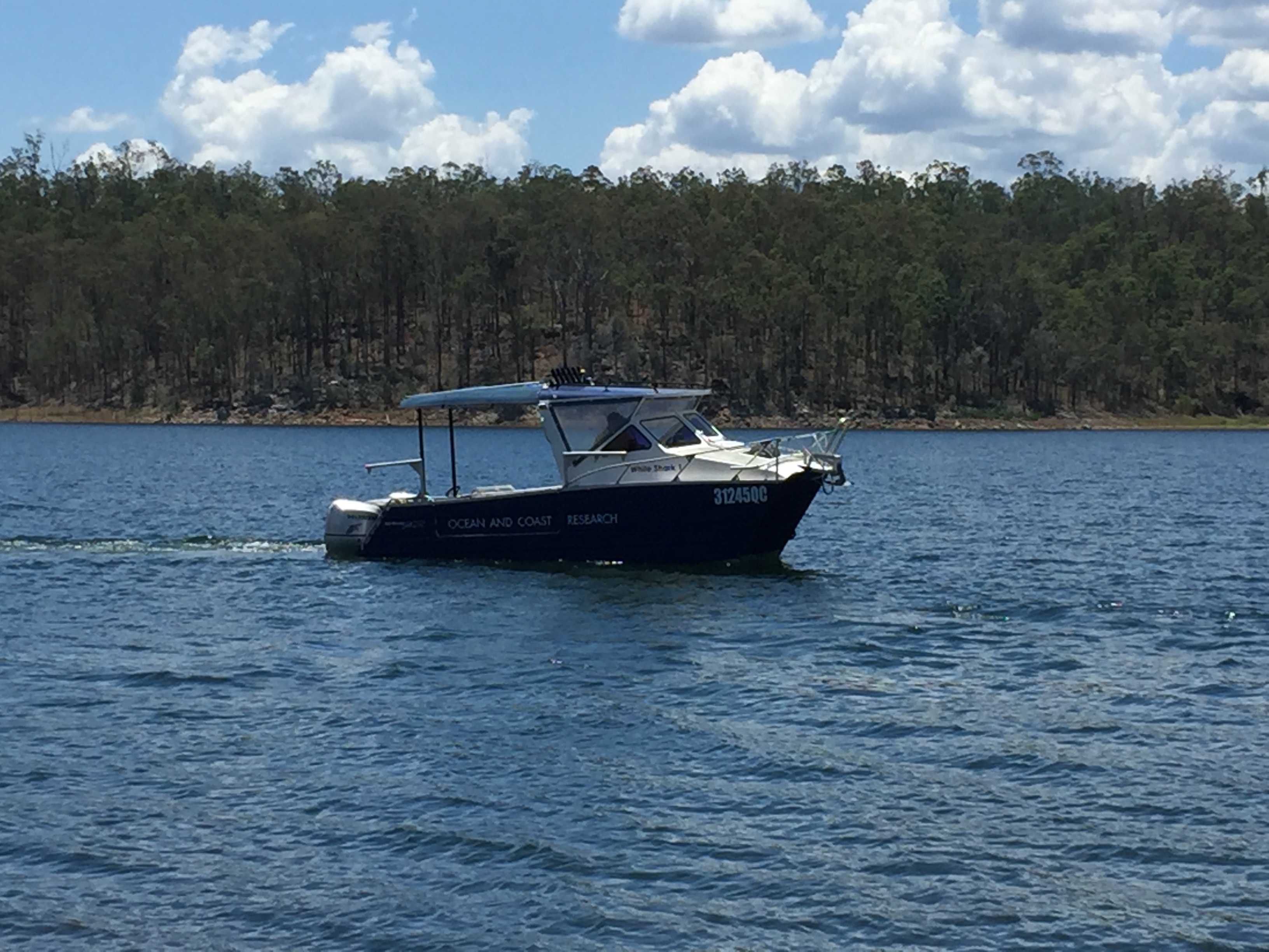
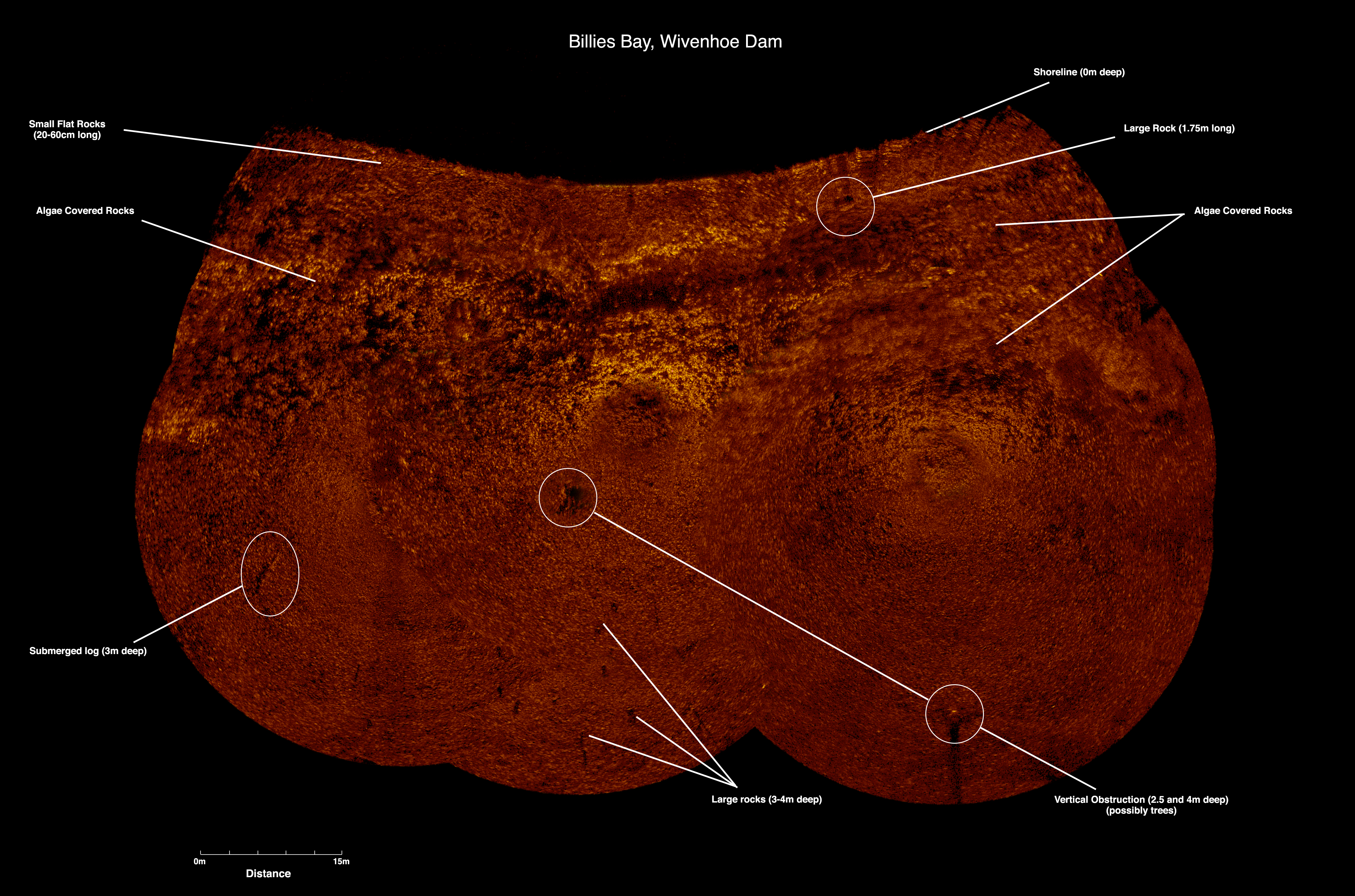
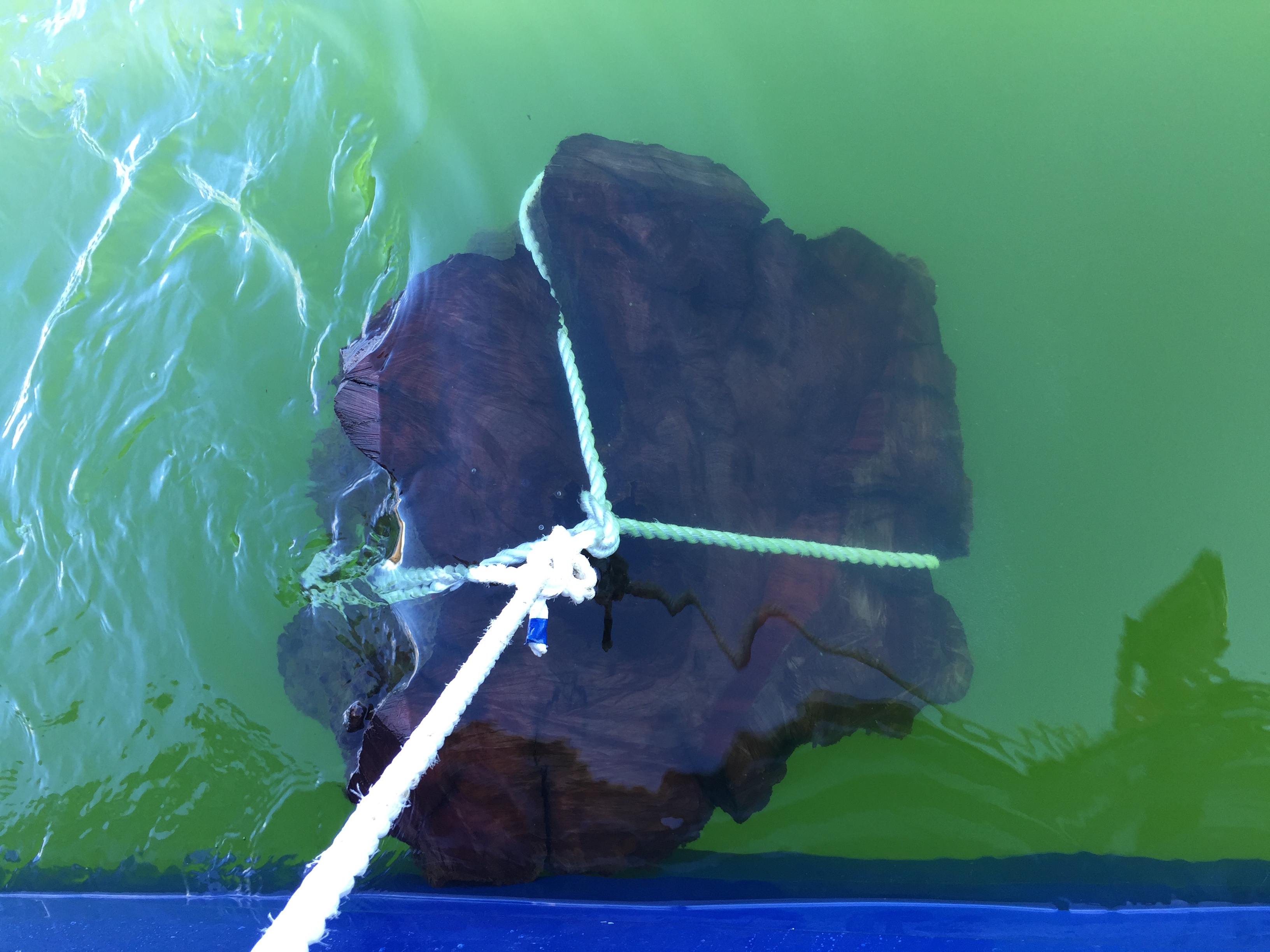
ROV Innovations has been called upon to intensively map local swimming areas for potential underwater hazards coming up to Summer in South East Queensland. Our team used our high resolution scanning sonar from our custom designed commercial vessel to map the first area in Wivenhoe Dam. We were able to quickly and efficiently identify 3 immediate hazards in the yet to be opened swimming area with the sonar, and with swift action by our client, arranged our commercial dive team to enter and remove them. In this instance, the hazards proved to be red Cedar tree stumps standing a meter tall and approximately a meter in diameter, and a 5m long log on the dam bed. Using an underwater hydraulic chainsaw, we were able to remove the potential hazards to ensure that swimmers in the area would not injure themselves. Due to the low visibility around the bed of the dam, the sonar proved to be the only reliable method to identify any potential hazards to swimmers. Using either Divers or ROVs in this instance would not be viable as they could easily have missed these hazards by a meter and not seen them. Only the high resolution scanning sonar allowed us to have 100% confidence that we had covered the entire area of concern.
By combining our multiple resources (in this instance - Sonar, Commercial Vessel and Dive Team) we were able to provide the client with an optimal solution with minimal downtime.
0 Comments
|
About UsROV Innovations provides High Definition underwater footage for industries such as Marine Conservation and Research, Australian Biosecurity, Customs, Documentary and Film Makers, Oil and Gas industries, and AQIS to name a few. Categories
All
Archives
April 2023
|
ROV Innovations.... Servicing Australia and the Pacific
Underwater ROV Inspections
Brisbane Gold Coast Newcastle Sydney Canberra Melbourne Hobart Adelaide Perth Darwin Auckland Fiji Vila Tonga Apia Rarotonga PNG
Underwater ROV Inspections
Brisbane Gold Coast Newcastle Sydney Canberra Melbourne Hobart Adelaide Perth Darwin Auckland Fiji Vila Tonga Apia Rarotonga PNG
Our Services |
Applications |
ROV Innovations |
ROV Innovations is a pioneering company providing positive, safe, and environmentally compliant outcomes for our clients.
We provide ultra Hi-definition (4K) underwater ROV inspections and surveys for industries such as Marine Conservation, Marine Research, Australian Biosecurity, Customs, Documentary and Film Makers, Oil and Gas industries, and AQIS through Remote Operated underwater Vehicles (ROV’s).
We provide ultra Hi-definition (4K) underwater ROV inspections and surveys for industries such as Marine Conservation, Marine Research, Australian Biosecurity, Customs, Documentary and Film Makers, Oil and Gas industries, and AQIS through Remote Operated underwater Vehicles (ROV’s).
© 2020 ROV Innovations | Queensland Australia | [email protected] | Mob +61 402 284 435


 RSS Feed

